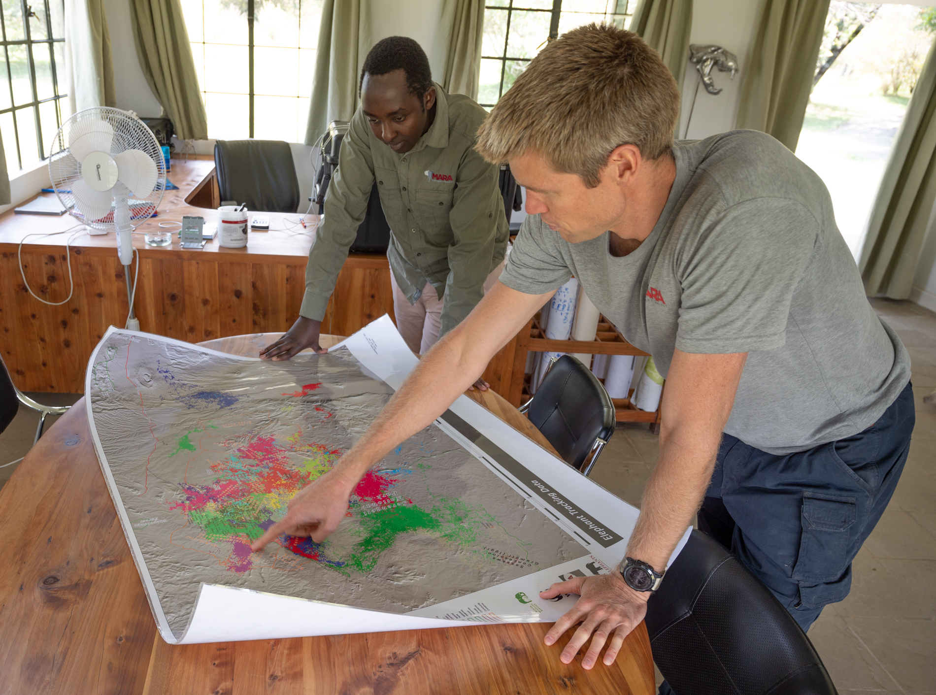
Advances in technology are opening up exciting opportunities in conservation and collecting and analyzing big ecological data is necessary to take advantage of these; however, it cannot be done without collaboration and relaying on a new generation of thinkers from around the globe. Data collected like elephant movements from satellite collars when paired with factors believed to influence elephant movement, such as vegetation, terrain, water availability and the level of human presence as observed by road and settlement densities, can be analyzed in relation to one another and used to create outputs that influence policy and build a case for important space for elephants and all wildlife in the future. In collaboration with partners, MEP builds bespoke technologies that evaluate conservation data and produce actionable outputs to influence policy, landscape planning and the deployment of resources.
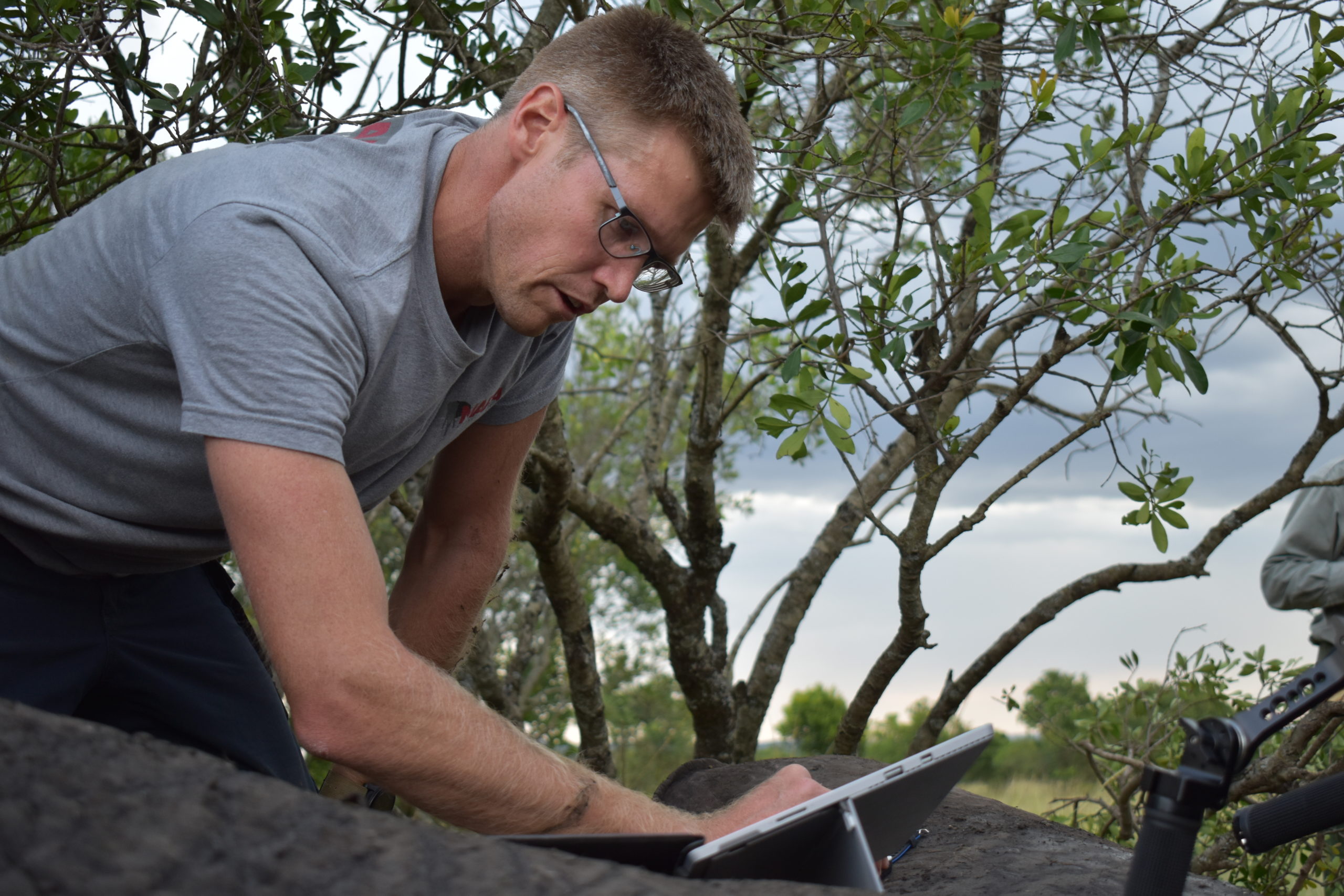
The effort to do this rests with the Mara Elephant Project Research Department led by Director of Research and Conservation Dr. Jake Wall. The MEP applied research agenda aims to enhance the protection of elephants and the habitat upon which they and other wildlife depend.
Advances in technology have changed the way the world approaches conservation. Not only is the hardware such as collars and sensors advancing, but so too is the software and analytics to make sense of complex conservation data streams. Mara Elephant Project is using conservation technology to build a greater understanding of one of Earth’s most important species. The challenge in collecting and storing swaths of ecosystem data is how to turn it into actionable information to help protect elephants and their habitats across the Greater Mara Ecosystem.
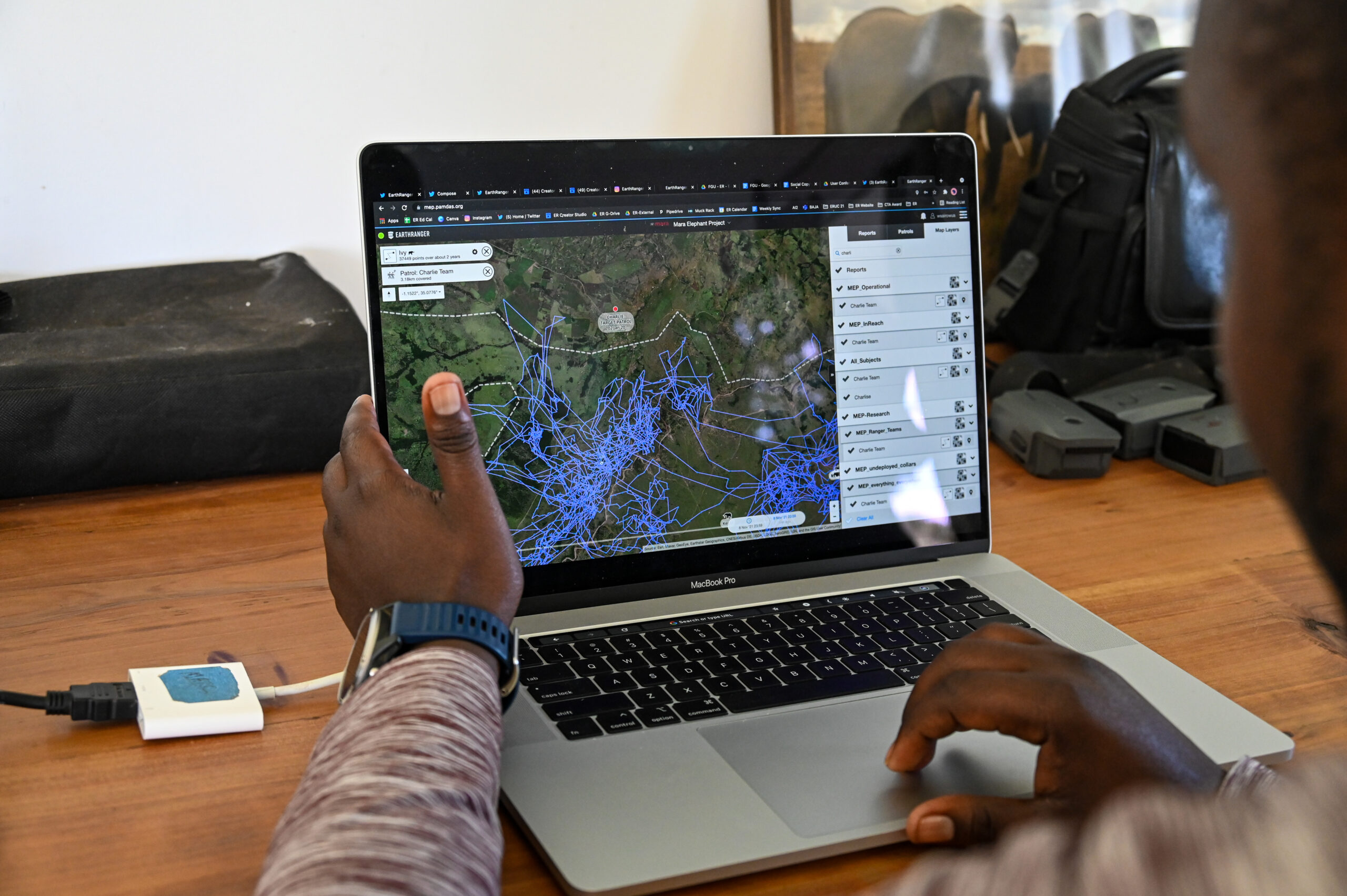 The EarthRanger software MEP deploys makes it easy to collect, store, visualize and access conservation data, but, in order to quickly generate analytical outputs from these data feeds MEP has created Ecoscope – an open-source analysis module for tracking, environmental and conservation data analyses. Ecoscope contains many of the tools needed to get from data collection to a finished report in an easy streamlined workflow.
"We can cut the time out of generating key conservation outputs through automation using Ecoscope and visualize those outputs in a user-friendly dashboard. This saves us both time and resources and makes our data far more accessible."
Director of Research & Conservation Dr. Jake Wall
 Ecoscope has a long list of functionalities, but a good example of how MEP will use it is with our Individual Collared Elephant Report, which is produced yearly. The report includes three pages on each collared elephant detailing many of its important movement and home-range characteristics. The entire report used to take months to generate and now that it is automated using Ecoscope it took only 2.5 hours to generate.
MEP’s Research Department put considerable resources and effort into developing Ecoscope and we’re sharing it as open-source software in order to advance the conservation of endangered species and their habitats. We plan to continue its development and maintenance and include guidelines for implementing Ecoscope that can be applied by other conservation organizations.
“Tools are useful only if you know how to use them. So, we are also developing a tutorial as a set of Google Colaboratory notebooks so that anyone with a Gmail account and a web browser can use Ecoscope on their own data.” Dr. Jake Wall
 A key objective for MEP is to focus on collaboration inside and outside of the world of conservation. It took many talented people to make Ecoscope possible including Peter Kulits, Catherine Villeneuve, Jes Lefcourt and George Wittemyer, and organizations to collaborate on this project, Allen Institute for Artificial Intelligence (AI2), Google Earth Outreach, Save the Elephants, and Elephants Alive. Cross-disciplinary collaboration on projects like Ecoscope are a critical component of advancing conservation research.
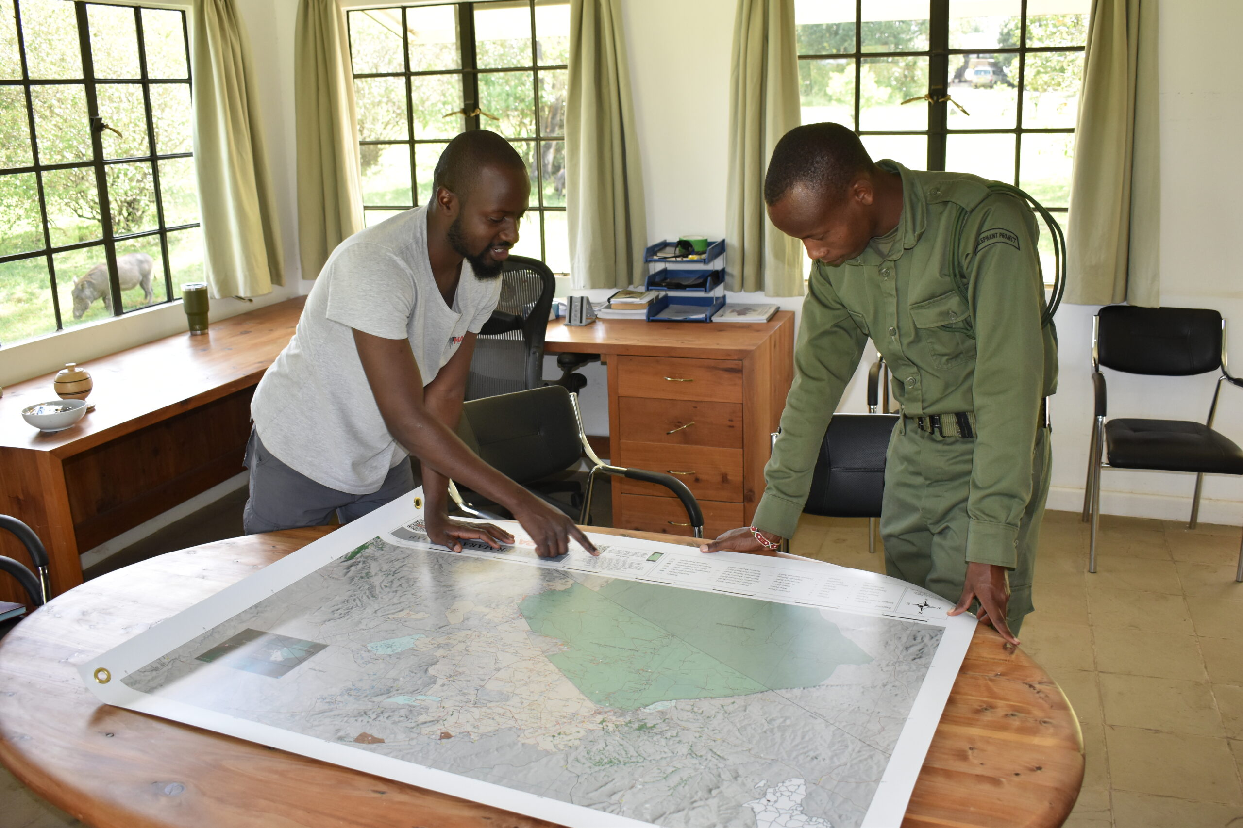
"Conservation data evaluation means that we’re actually trying to prove is we are having a lasting effect. Is this area important to elephants? If so, what are we going to do in the long term to secure it?"
CEO Marc Goss
Applied conservation research on elephants, especially when combined with data from other wildlife, will help MEP along with government partners, KWS, Wildlife Research and Training Institute (WRTI), Narok County Government (NCG) and Maasai Mara Wildlife Conservancies Association (MMWCA) to inform future spatial ecosystem plans that protect the Mara’s ecosystem functioning and biodiversity.