Mara Elephant Project is a data-driven organization. The data we collect not only informs all of our operations but also is shared with other organizations and leaders in Kenya to inform future land use planning. Currently, MEP’s 20 collared elephants provide a massive amount of data that is used daily to mitigate human-elephant conflict, inform ranger deployment and anti-poaching work, and promote transboundary cooperation within the wider ecosystem. The data collected from MEP’s elephant collars is the single best indicator for identifying elephant density hotspots, defining corridors, and illustrating elephant movements to target audiences. Combined data from a sample number of elephant collars spread across the elephant population present an accurate extent of the current elephant rangeland.
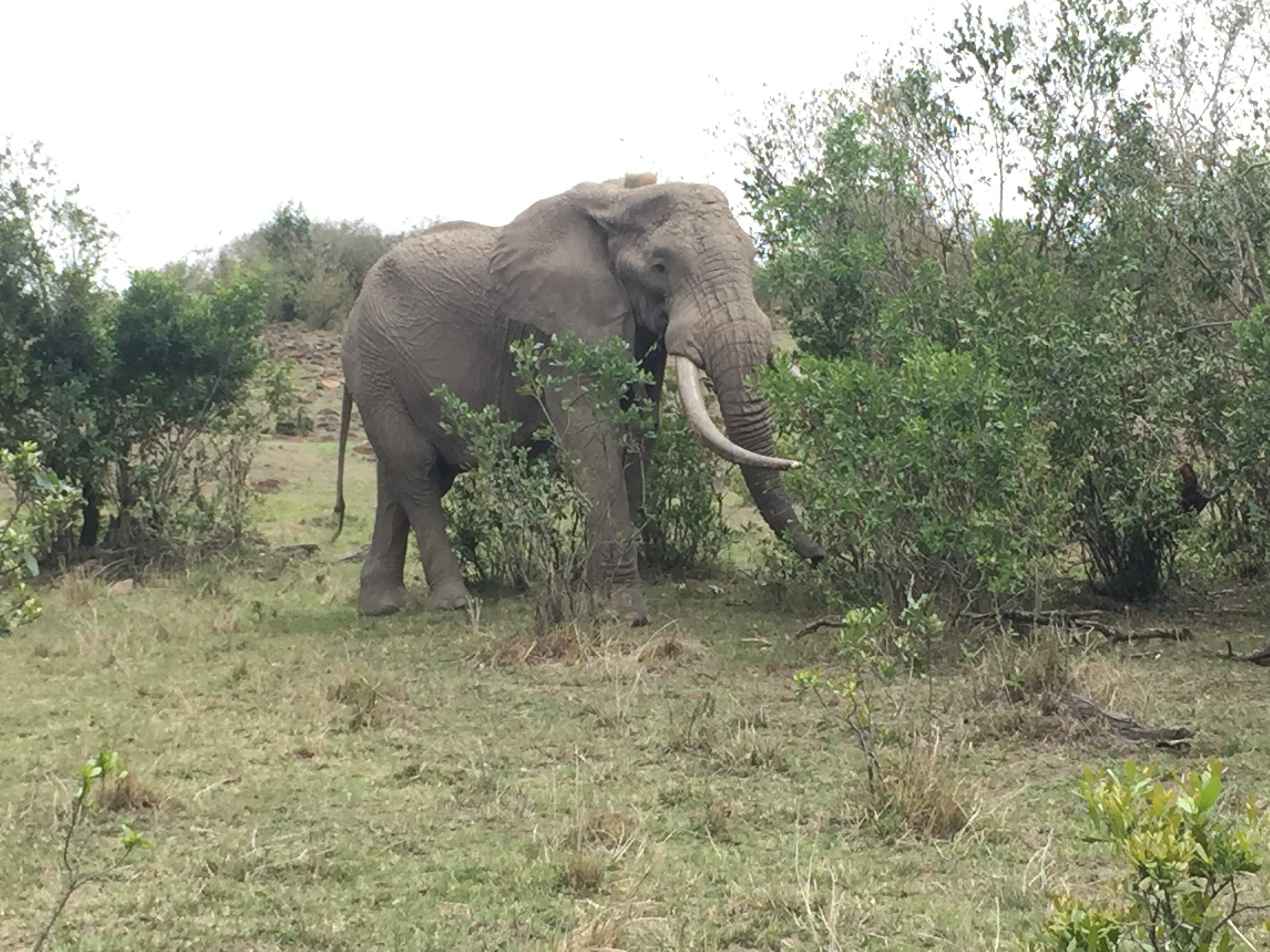
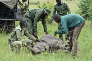
MEP collared elephant Hugo.
Mara Elephant Project currently collects data on not only our elephant collars but ranger patrols, human-elephant conflict (HEC), HEC mitigation, real-time monitoring alert responses, the monitoring of illegally killed elephants (MIKE), and chili fences. All of MEP’s data sets are input using a cutting-edge system co-developed by Save the Elephants and Vulcan called the Domain Awareness System (DAS). DAS generates automated reports of data and it is these reports that inform asset deployment and monitor and evaluate the impact MEP is having on HEC mitigation and anti-poaching in the Mara.
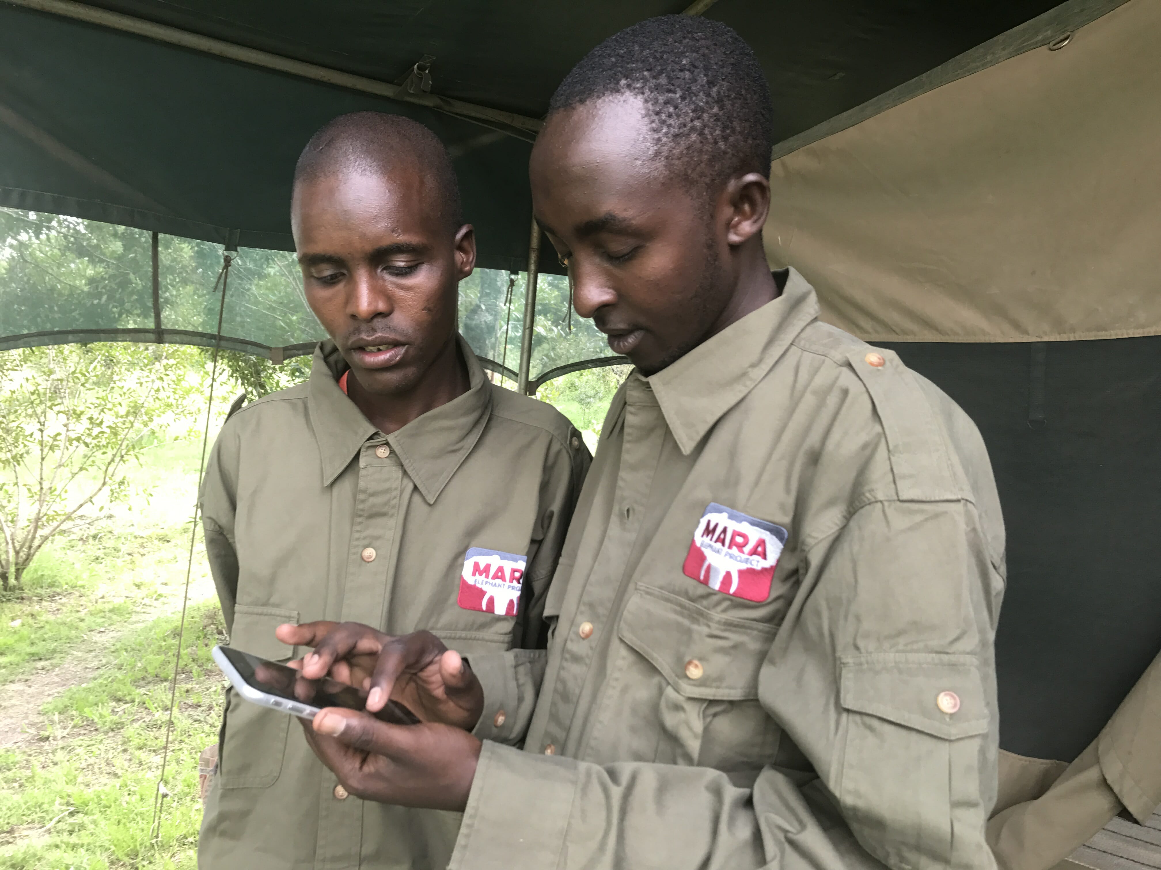
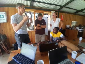
Tracking Manager Wilson Sairowua whose main responsibility is monitoring the tracking data of collared elephants and producing monthly tracking reports and maps.
Dr. Jake Wall from Save the Elephants was at MEP HQ in December working on data collection for his range paper using the MEP collar data on elephant movements in the Mara ecosystem. Dr. Wall also participated in a meeting that took place at Kenya Wildlife Service headquarters in Nairobi where all organizations working across Kenya presented their elephant collaring data. Dr. Wall presented five visual outputs illustrating all of our elephant’s movements since the beginning of MEP’s collaring program in 2012. In addition to this he presented DAS and how it is working across the Mara to show that the ongoing collection of data and further analysis must continue to provide the evidence underpinning the communications and advocacy efforts of not only our organization but all of Kenya in order to protect this critical habitat into the future.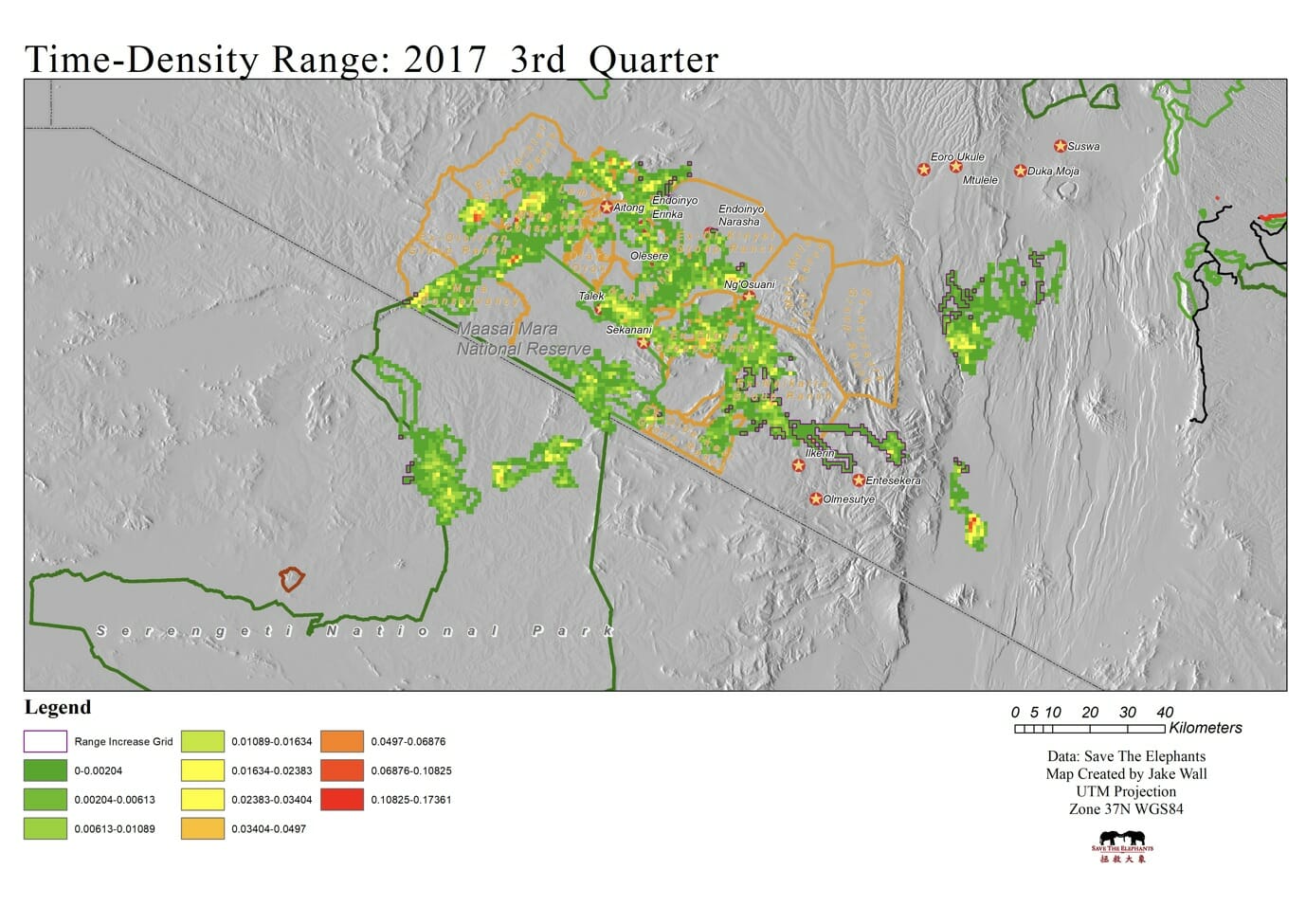
A density map created by Dr. Jake Wall in 2017.
It’s with this in mind that MEP has updated our scientific objectives for 2018 and Dr. Wall will advise on the scientific component and data collection management of our organization. MEP’s key data sets that we’re focusing on in 2018 are: collar data collected directly to DAS; ranger data using GPS, the WILD app and Garmin InReach that will be input on DAS; HEC data through GPS and the WILD app that is input on DAS; MIKE data from GPS, and a manual form that’s input on DAS; aircraft data through Spyder Tracks which goes directly to DAS; UAV data on the DJI GO 4 that’s input to DAS; arrest and prosecution data that’s recorded on a MEP developed form and includes court records that is input to DAS and fence data that’s collected by rangers and input into DAS.
DAS Report November
Streamlining the data collection process and using one source, DAS, where it can be input or collected is essential to keeping all of this data in a useful place to be analyzed. In 2018, we’d like to focus on collecting data from partners in the Mara specifically on cattle and settlements. Overall, we’re thrilled to have Dr. Wall on board and ensuring that MEP is on the cutting edge of this essential task for the conservation of the Mara ecosystem.